
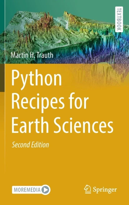

Python Recipes for Earth Sciences
Hardback or Cased Book 491 pages Oct 08, 2024
Millions of titlesEvery book you're looking for
Carbon-neutral shippingFree on orders over $39.99
Fast shipping worldwideDelivered to your door
Python is used in a wide range of geoscientific applications, such as in processing images for remote sensing, in generating and processing digital elevation models, and in analyzing time series. This book introduces methods of data analysis in the geosciences using Python that include basic statistics for univariate, bivariate, and multivariate data sets, time series analysis, and signal processing; the analysis of spatial and directional data; and image analysis. The text includes numerous examples that demonstrate how Python can be used on data sets from the earth sciences. Codes are available online through GitHub.
- Author:
- Martin H. Trauth
- Publisher:
- Springer
- Publication Date:
- Oct 08, 2024
- Number of pages:
- 491 pages
- Binding:
- Hardback or Cased Book
- ISBN-10:
- 3031569059
- ISBN-13:
- 9783031569050